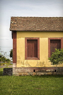
Title: Old house with traces of architecture brought by immigrants
Description: Located in the city centre next to the railway.
Local: Morro da Fumaça, Brazil
Date of Registration: 14/01/2017
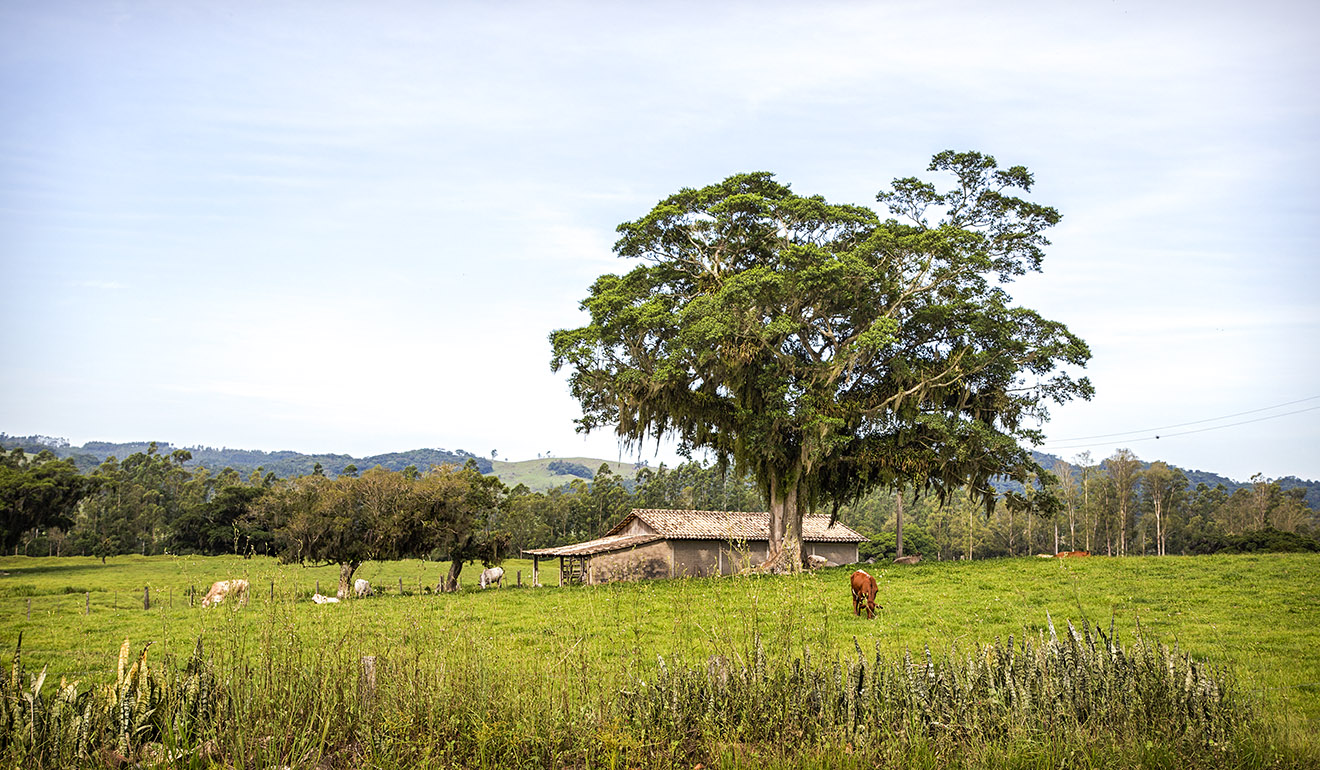
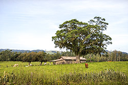
Title: Fig tree
Description: A well preserved landscape typical of the region. Many fig trees that still exist were used by immigrants as a shelter during the beginning of the colonization of the south of Santa Catarina. This fig tree is located in the rural area of the city.
Local: Morro da Fumaça, Brazil
Date of Registration: 15/01/2017
Title: Estação Cocal Railway Station
Description: It was inaugurated in 1922 but was decommissioned around the year 1970 with the end of passenger trains. It is located at Estação Cocal near SC 442 highway.
Local: Morro da Fumaça, Brazil
Date of Registration: 14/01/2017
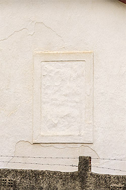
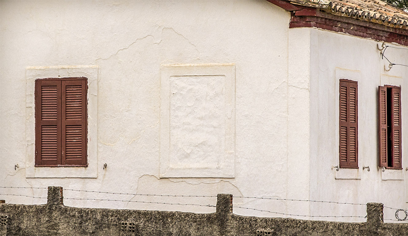
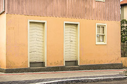
Title: Windows
Description: Old residence with traces of the architecture brought by the immigrants. Located in the city centre.
Local: Morro da Fumaça, Brazil
Date of Registration: 14/01/2017
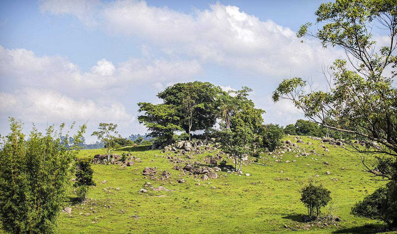
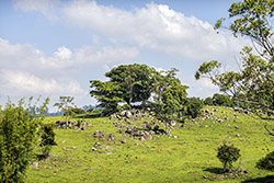
Title: Fig tree
Description: Located in the rural area of the city near SC 442 highway.
Local: Morro da Fumaça, Brazil
Date of Registration: 14/01/2017
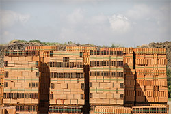
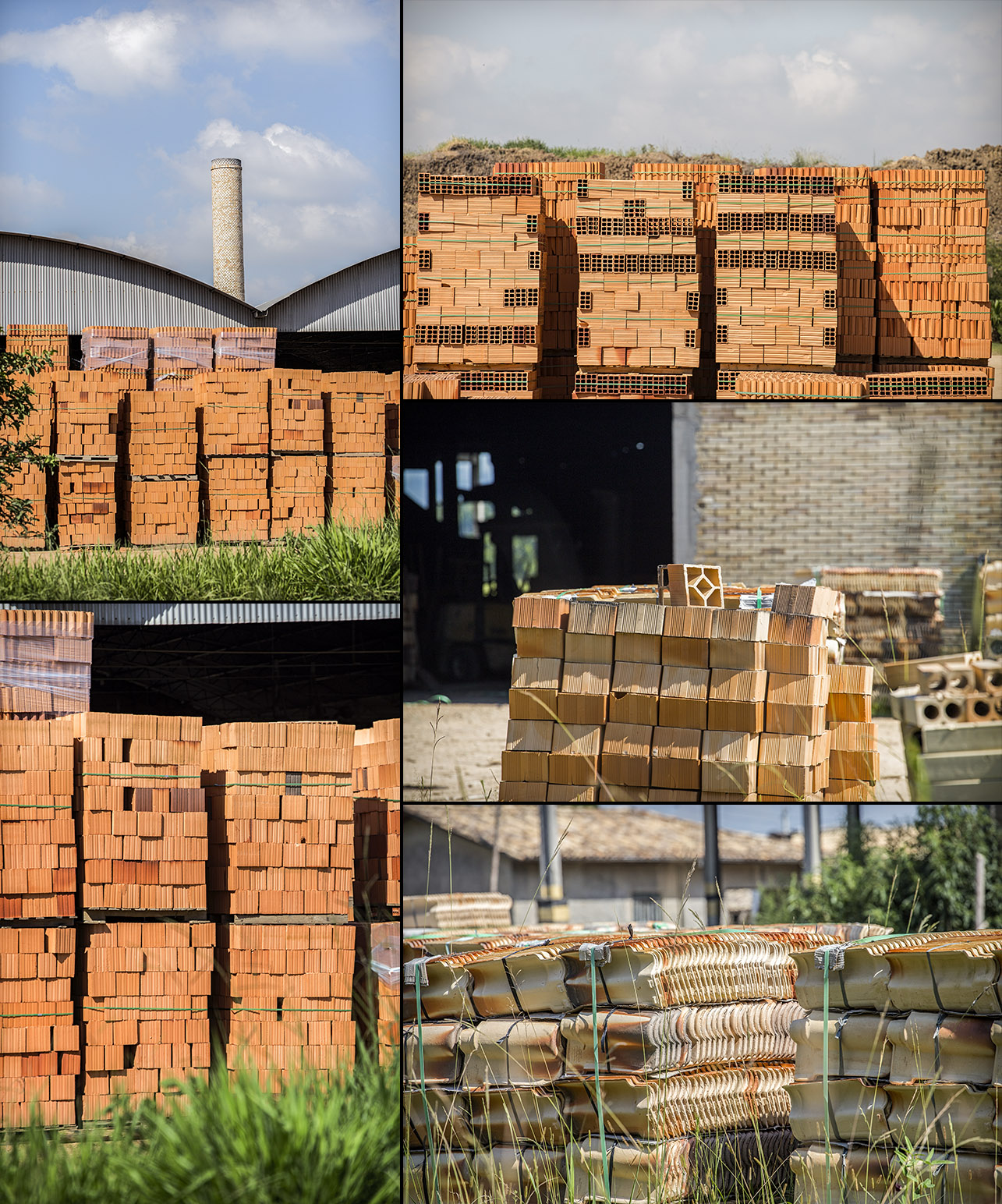
Title: Brickyards
Description: Nowadays ceramic industries are among the main economic activities of the municipality with the production of tiles, bricks, floors and tiles.
Local: Morro da Fumaça, Brazil
Date of Registration: 15/01/2017
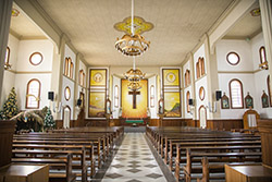
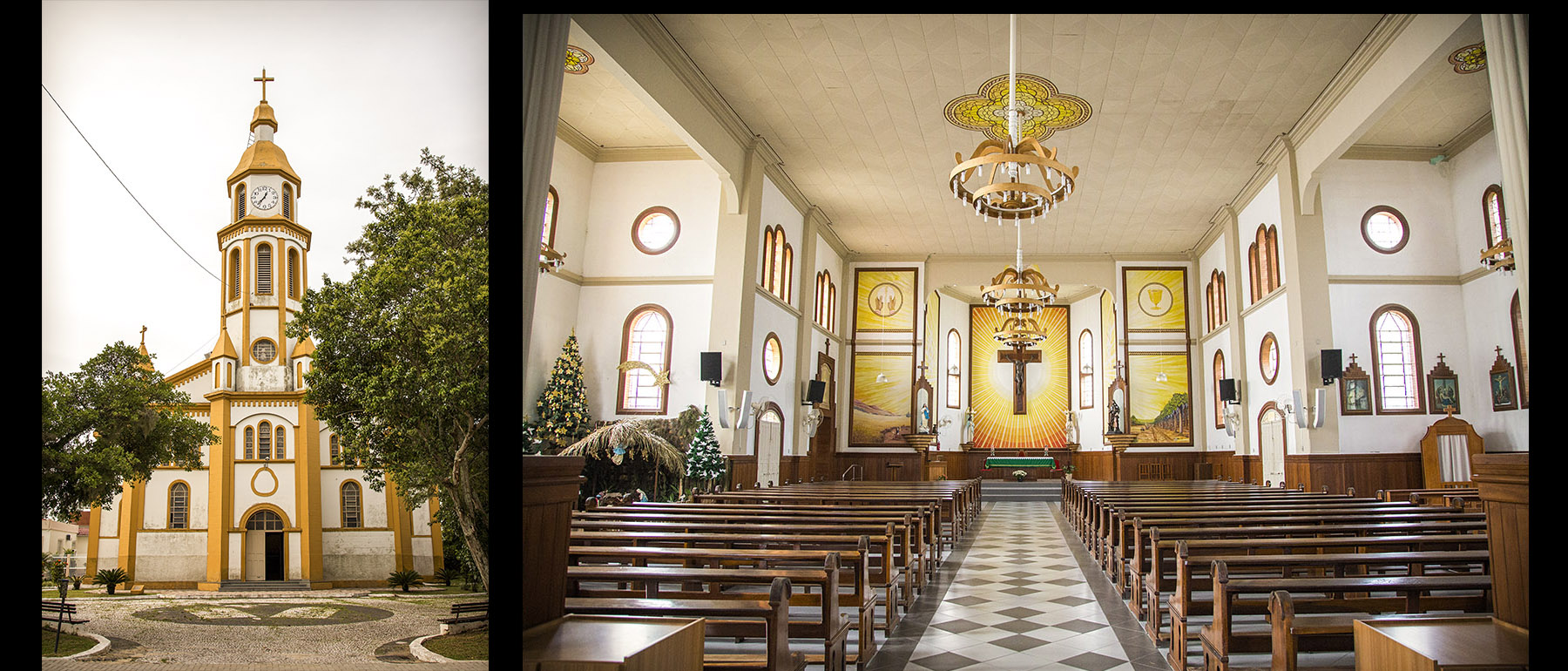
Title: Facade and interior of São Roque Parish
Description: It was built in 1958 and is located in the city centre.
Local: Morro da Fumaça, Brazil
Date of Registration: 14/01/2017
Title: Old house with traces of architecture brought by immigrants
Description: Located in the city centre.
Local: Morro da Fumaça, Brazil
Date of Registration: 14/01/2017